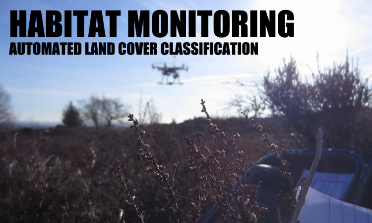
Automated land cover classification for conservation and habitat monitoring
I posted the results of my research into using a small UAV for land cover classification for habitat monitoring a couple of months ago.
I’ve created a short video as part of my research presentation that details the workflow used to analyse the image data and thought it may be of interest to the community. I’m more than happy to have a conversation about the project in the comments 
SOURCE: Everyone’s Blog Posts – DIY Drones – Read entire story here.

